
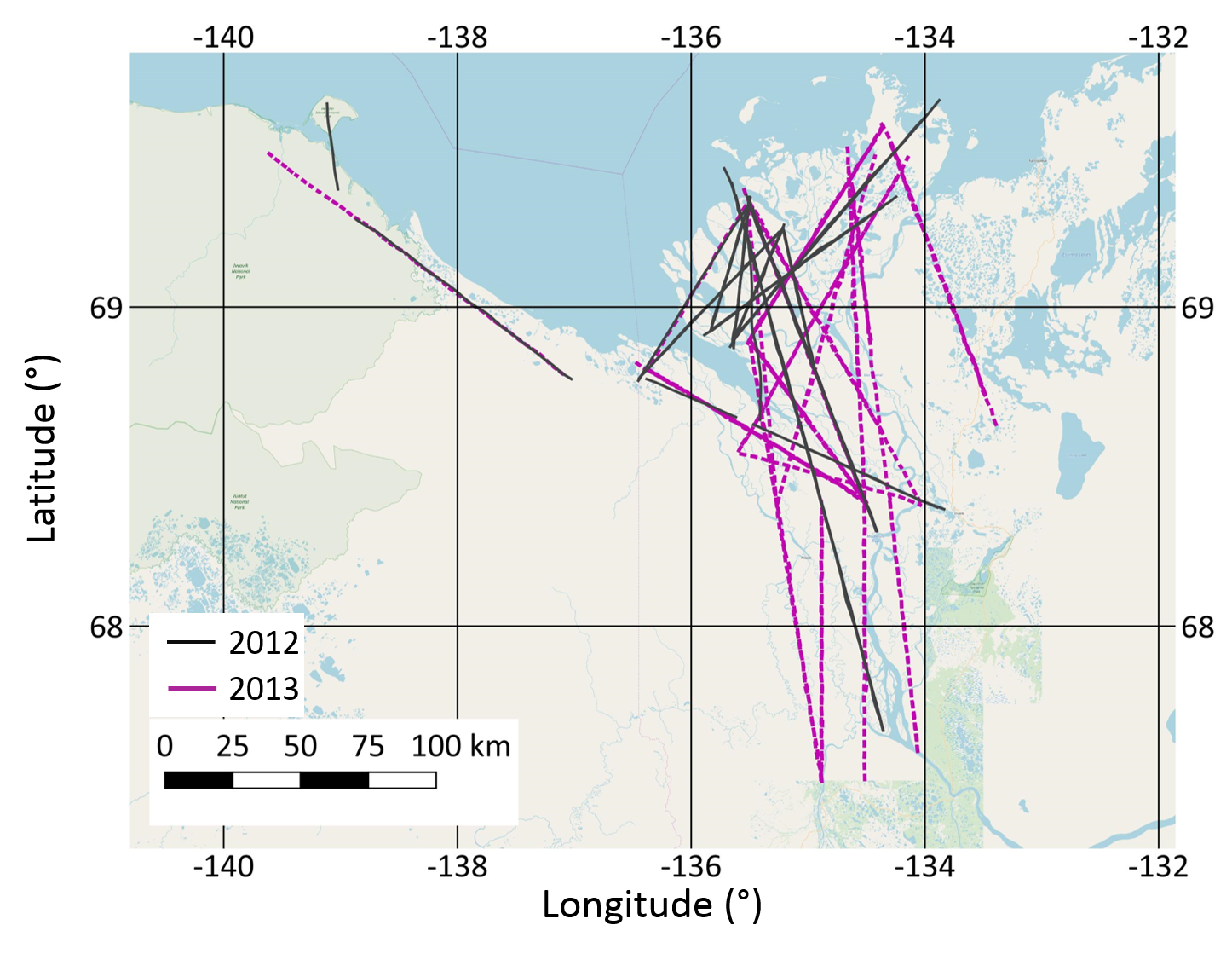
Fig. 2: AIRMETH_Flighttracks_Mackenzie_Delta_2012_2013
Fig. 2 shows the flight tracks of the AIRMETH flight campaign across the Mackenzie Delta in 2012 and 2013. Vertical profiles to the top of the atmospheric boundary layer were flown at both ends of each flight track.
Additional Information
| Field | Value |
|---|---|
| Data last updated | November 24, 2018 |
| Metadata last updated | November 24, 2018 |
| Created | November 24, 2018 |
| Format | PNG |
| License | Creative Commons Attribution Share-Alike |
| Has views | True |
| Id | 59719fa3-f7d6-4015-9ffa-272a83d0b868 |
| Mimetype | image/png |
| On same domain | True |
| Package id | fd9b843d-ec18-49ae-a54b-9b31fd5ad6de |
| Position | 1 |
| Size | 1.2 MiB |
| State | active |
| Url type | upload |